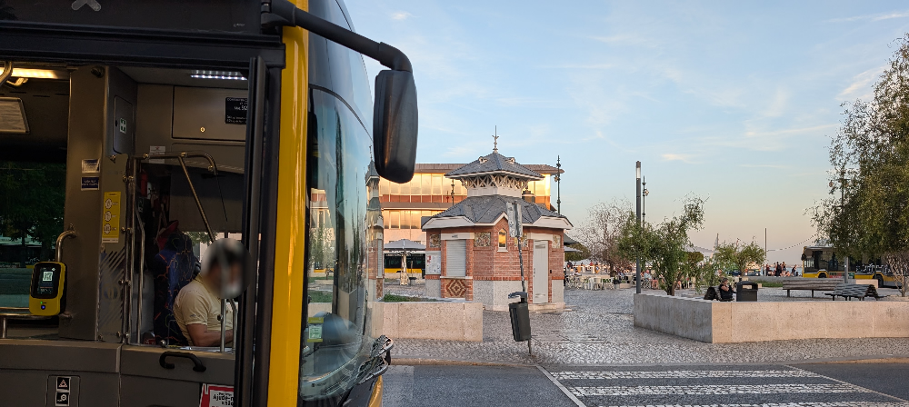
Through the bus driver’s eye
R code
Python
Publications
Transport planning
Master thesis on Transportation Systems, focused on how drivers knowledge can be used to monitor and plan a bus network
the Portuguese newspaper where I casually write opinion articles about transportation
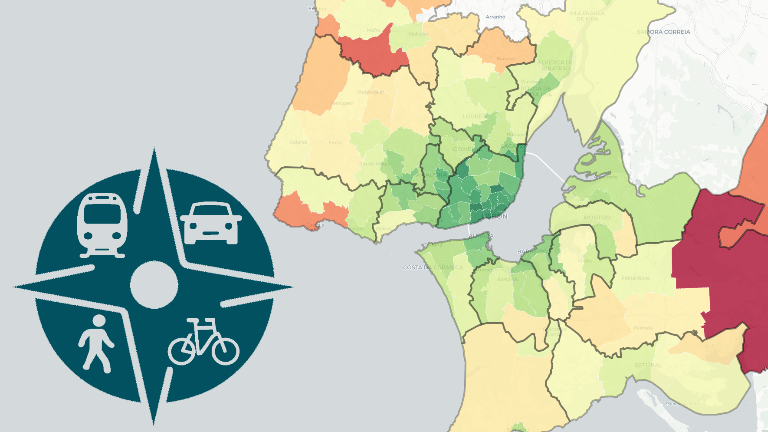
the Lisbon Metropolitan Area platform for public transport operational monitoring and public information